
Category 5 Hurricane Polo Threatens Mexico Coast in Record Shift
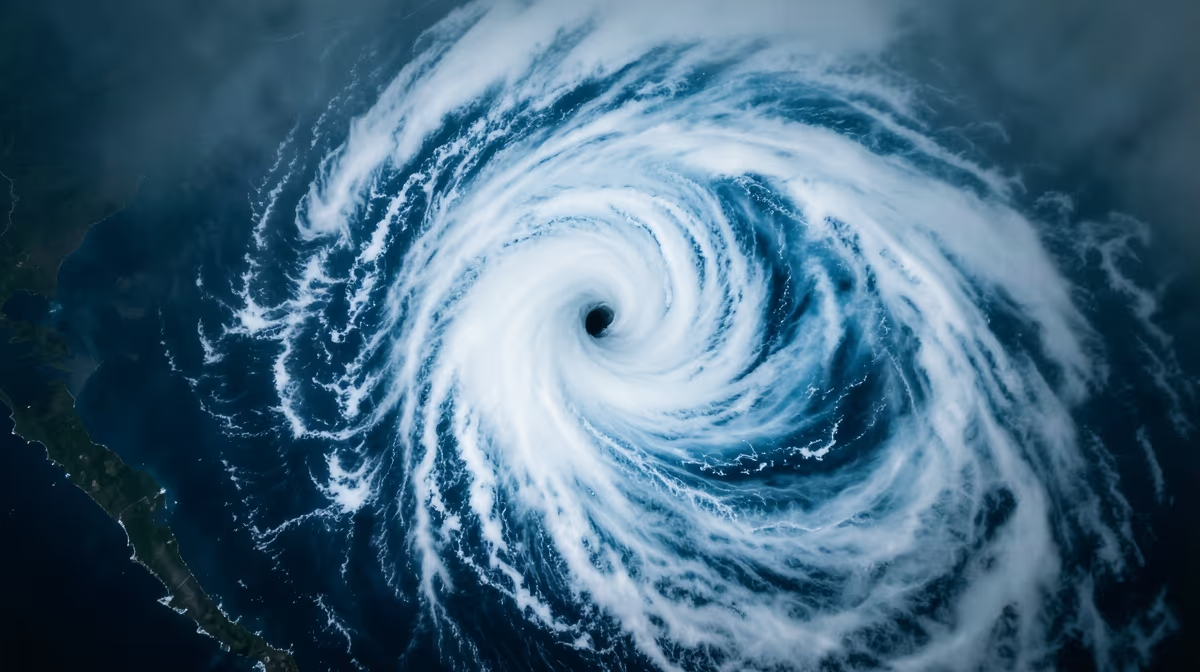
The Pacific horizon has transformed into a theater of unprecedented atmospheric power, as a tropical system defies standard growth models to reach its peak intensity in record time. Meteorologists are closely monitoring Category 5 Hurricane Polo as it rapidly intensifies off the Mexico Pacific coast, bringing extreme weather and potential landfall threats.
This massive storm is currently churning near the Mexican coastline while also threatening to send heavy surf and rough conditions northward toward the Southern California coast. Forecasters and local officials are closely monitoring its path as it remains an extremely dangerous weather system. The suddenness of its development has caught the attention of global meteorological agencies, marking it as one of the most powerful storms to develop in these waters in recent memory.
The storm's power is expected to bring continued high surf and impacts to the Southern California coast as it remains an extremely dangerous system.
The Rapid Intensification of Hurricane Polo
Hurricane Polo has undergone explosive intensification, reaching the maximum Category 5 status on the Saffir-Simpson scale while churning just off the coast of Mexico. Analysts and major news outlets describe the system as an extremely dangerous storm, marking it as one of the most powerful storms ever recorded in the region. This rapid evolution from a standard tropical disturbance into a catastrophic hurricane highlights a volatile trend in Pacific weather patterns.
The hurricane is currently holding steady at its peak strength just off the Mexican coastline. Its proximity to land has prompted heightened alert levels along the Mexican Pacific coast, where residents and local authorities are bracing for severe weather conditions. Forecasters are closely monitoring the system’s trajectory and strength as it maintains its powerful status just offshore.
Meteorological Classification and Strength
Category 5 hurricanes carry catastrophic winds and severe storm surges that pose an extreme threat to coastal communities, lives, and infrastructure. Even when staying just offshore, massive storms of this magnitude can generate life-threatening surf, dangerous rip currents, and severe weather impacts hundreds of miles away. The classification of Polo as a Category 5 storm signifies sustained winds of 157 mph or higher, capable of causing total roof failure and wall collapse on residential structures and making large areas uninhabitable for weeks or months.
A Shifting Landscape: Root Causes and Environmental Factors
The root cause of this unprecedented intensification lies in a combination of environmental triggers. Unusually warm sea surface temperatures in the Eastern Pacific, combined with favorable atmospheric conditions, have fueled the rapid intensification of Hurricane Polo into an unprecedented Category 5 system. These warm waters act as high-octane fuel for tropical systems, allowing them to bypass lower categories and "explode" into major hurricanes within short windows of time.
Historical Context and Comparisons
To understand the gravity of Hurricane Polo, analysts point to historical parallels.
- Hurricane Patricia in 2015: This storm became the strongest hurricane ever recorded in the Western Hemisphere off the coast of Mexico.
- Rapid Intensification Trends: The current event mirrors Patricia’s sudden and devastating potential in the Eastern Pacific.
- Seasonal Norms: While the Pacific hurricane season typically runs from May through November, the frequency of such explosive growth is a subject of intense study.
The increasing frequency of explosive storm intensifications in the Pacific raises long-term habitability concerns for coastal communities. This trend potentially triggers quiet shifts in real estate valuation and infrastructure investment priorities as the cost of coastal resilience continues to climb.
Regional Impact and Coastal Safety Protocols
The immediate impact of Hurricane Polo is felt most acutely by coastal residents along Mexico's Pacific coast and communities along the Southern California coast. Even without a direct landfall, the sheer size of the storm’s circulation means that rough weather conditions are propagating far from the eye of the hurricane.
Mexican federal and regional authorities face immediate pressure to coordinate disaster response and evacuation protocols. This situation is testing the efficiency and preparedness of civil protection agencies along the Pacific coastline. Emergency response teams are focusing on several high-risk areas:
- Coastal Flood Zones: Areas susceptible to storm surges and high-tide flooding.
- Maritime Sectors: Local fisheries and commercial shipping lanes that must navigate hazardous sea conditions.
- Tourism Hubs: Major coastal resorts that face potential infrastructure damage and loss of revenue.
| Phase | Development Status |
|---|---|
| Initial Formation | Rapid intensification off the Mexican Pacific coast |
| Peak Intensity | Achievement of Category 5 status; designated extremely dangerous |
| Current Trajectory | Holding strength offshore; impacting regional weather patterns |
Economic and Geopolitical Dimensions
The economic angle of Hurricane Polo is significant. The threat of severe coastal damage and hazardous marine conditions poses immediate risks to regional tourism, local fisheries, and supply chains. Furthermore, the storm is expected to impact insurance and disaster relief expenditures as regional governments assess the cost of preparation and potential recovery.
From a geopolitical perspective, the storm emphasizes the need for cross-border meteorological cooperation. As powerful storms frequently generate knock-on effects reaching into Southern California, disaster mitigation strategies between Mexico and the United States take on renewed importance. The shared risk of high surf, dangerous rip currents, and marine hazards requires a unified approach to emergency management and public communication.
Category 5 hurricanes carry catastrophic winds and severe storm surges that pose an extreme threat to coastal communities, lives, and infrastructure.
The impact on Southern California is particularly noteworthy. Analysts note that the storm's massive circulation could continue to send rough surf and adverse weather impacts toward the California coast. Emergency managers across these regions are evaluating potential hazards as the tropical system tracks through the Pacific, affecting maritime navigation and coastal tourism far to the north of the storm's center.
Predictive Analysis: The Next 72 Hours
The outlook for the next few days remains critical. Forecasts suggest that Hurricane Polo will continue churning as a Category 5 storm just off the coast of Mexico, maintaining its dangerous intensity and posing immediate threats to coastal areas and maritime navigation over the next 24 hours.
Short-Term Expectations
In the next 72 hours, the storm may continue to influence regional weather patterns, potentially impacting the Southern California coast and local sea conditions while local authorities monitor its trajectory. Key players in this tracking effort include Mexican regional authorities, Southern California emergency response agencies, and international meteorological tracking services.
Expert Projections and Scenarios
Analysts expect continued high surf, severe coastal weather, and close monitoring by disaster management agencies as the Category 5 storm tracks near land. There are two primary scenarios being considered:
- Best-Case Scenario: Hurricane Polo tracks away from heavily populated areas or weakens more rapidly than anticipated before making any direct coastal impact.
- Worst-Case Scenario: The storm maintains its extreme intensity closer to land, causing severe wind damage, dangerous storm surges, and prolonged coastal flooding in Mexico and parts of the U.S. West Coast.
The exact track of the hurricane, potential landfall impacts, and the full extent of weather effects on both the Mexican coast and Southern California remain open questions that will be answered as the system interacts with cooler waters or environmental factors in its path.
Frequently Asked Questions
What is Hurricane Polo and how strong has it become?
Hurricane Polo is a major storm that rapidly intensified off the Pacific coast of Mexico, exploding into an extremely dangerous Category 5 hurricane. Meteorologists have noted it is churning as one of the strongest storms ever recorded in the region, holding steady just offshore.
Where is Hurricane Polo currently located?
The hurricane is located just off the southwestern coast of Mexico. Its close proximity to land has raised concerns regarding severe coastal impacts, high surf, and potential weather hazards in the immediate area.
Why is Hurricane Polo important for Southern California?
The powerful storm could spell a continued beating for the Southern California coast as heavy swells and high surf propagate northward. Forecasters are closely monitoring the system's trajectory and strength to understand how far north its marine impacts will reach.
What happens next as Hurricane Polo holds at Category 5 strength?
Forecasters and meteorologists continue to track the storm's intensity and movement to determine if it will maintain its Category 5 status or begin weakening as it interacts with cooler waters or environmental factors. Coastal regions along Mexico and parts of the western US coastline remain on alert for hazardous marine conditions.
How quickly did Hurricane Polo intensify?
Hurricane Polo underwent rapid intensification, described by experts as an explosion into a Category 5 storm. This sudden surge in strength caught many by surprise, elevating the threat level for areas near the Mexican Pacific coast.
What kind of storm classification has Hurricane Polo reached?
Polo has reached Category 5 strength, making it the highest possible classification on the Saffir-Simpson hurricane wind scale. It is currently categorized as an extremely dangerous storm capable of generating severe winds and destructive waves.
Conclusion
Hurricane Polo has established itself as a historic meteorological event, rapidly reaching Category 5 status and holding that strength off the Mexican Pacific coast. The storm is one of the strongest ever recorded in the region, fueled by unusually warm sea surface temperatures and favorable atmospheric conditions. While it remains just offshore, its massive reach is causing dangerous surf and weather impacts from the Mexican coastline up to Southern California. Authorities remain on high alert, testing evacuation protocols and disaster response preparedness as the storm continues its dangerous trek. The next 72 hours will be decisive in determining whether the storm begins to weaken or if its worst-case scenario—prolonged coastal flooding and wind damage—becomes a reality for the affected regions.
Sources
- Hurricane Polo churns off Mexico’s Pacific coast as ‘one of the strongest storms ever’ — AP News
- Tracking the tropics: Hurricane Polo reaches category 5 — WWLTV.com
- Hurricane Polo holds at Category 5 strength just off the coast of Mexico — KBTX News 3
- Hurricane Polo intensifies off Mexico, could mean a continued beating for SoCal coast — Los Angeles Times
- Hurricane Polo explodes into a Category 5 storm off Mexico — EarthSky
- Category 5 Hurricane Polo is now an 'extremely dangerous' storm off the coast of Mexico — Scripps News


.webp)


