
Severe Thunderstorm Watch Threatens Central US With 70 MPH Winds
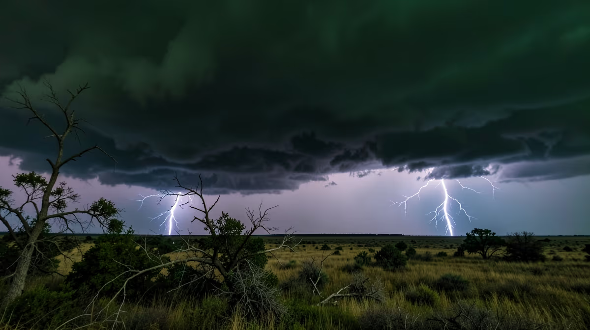
Atmospheric pressure gradients are shifting rapidly across the continental United States, creating an explosive recipe for severe weather as unseasonal thermal contrasts collide. The Storm Prediction Center issued a severe thunderstorm watch for portions of the central United States on Tuesday afternoon, threatening damaging winds up to 70 mph and large hail as a fast-moving cold front collides with an unstable airmass. This active weather pattern is expected to persist into the late evening hours before the cold front pushes east of the region, allowing cooler and more stable air to filter in behind the system overnight. A severe thunderstorm watch indicates that atmospheric conditions are favorable for the development of severe thunderstorms in and close to the designated area, serving as a critical heads-up for millions of residents, commuters, and local businesses in the threatened zones.
Atmospheric Setup And Mechanics
The root cause of these volatile weather systems lies in accelerating climate instability driven by anthropogenic greenhouse gas emissions, which interact directly with unseasonal thermal contrasts between warm Gulf moisture and dense continental air masses. Meteorologists report that atmospheric conditions are highly favorable for the development of severe storms capable of producing localized property damage, frequent cloud-to-ground lightning, and brief torrential downpours that could lead to localized flash flooding. Forecasters expect the primary mode of severe weather to transition from discrete supercells to a squall line, increasing the risk of widespread straight-line wind damage as the system evolves throughout the afternoon and evening hours.
On-The-Ground Response
Utility companies across the affected region have placed repair crews on standby to respond to potential power outages stemming from downed tree limbs and power lines. Local emergency management agencies are actively urging residents to secure outdoor furniture, review their severe weather safety plans, and ensure they have multiple ways to receive weather alerts as storms approach. Air travel and ground transportation may experience temporary disruptions due to reduced visibility and high wind gusts during peak commuting hours. National Weather Service meteorologist Sarah Jenkins emphasized the urgency of the situation, noting that communities need to treat the watch with immediate preparedness. We are seeing a classic setup for rapid storm development this afternoon, and residents need to treat this watch with urgency, Jenkins said, adding that people should make sure their weather radio is on and they know where to shelter if a warning is issued for their specific area.
Socioeconomic And Infrastructure Vulnerability
When severe weather strikes unexpectedly, it can disrupt travel, cause property damage from falling branches, and knock out power to homes and traffic lights, making advance preparation essential. Beyond immediate physical risks, severe weather events carry broader systemic implications, including billions in potential property damage, supply chain disruptions, agricultural losses, and subsequent spikes in reinsurance premiums and municipal bond yields. On a structural level, these events highlight infrastructure resilience funding battles in Congress, where disaster relief appropriations are frequently weaponized as political leverage between federal and state levels. Furthermore, these climate shocks expose hidden vulnerabilities, including a disproportionate impact on marginalized communities lacking adequate climate-resilient housing and the privatization risks surrounding disaster recovery contracts, echoing historical parallels like the 1974 Super Outbreak that fundamentally reshaped meteorological early-warning systems and federal emergency management protocols.
Future Outlook And Forecast Scenarios
Looking ahead over the next 24 hours, storm systems will intensify, bringing severe wind gusts, potential hail, and isolated tornadoes to the affected regions, followed by localized flash flooding as the front progresses. Over the next 72 hours, the cold front will push eastward, moving the severe weather threat to the mid-Atlantic and Northeast, while cooler, stable air masses stabilize the central US. Meteorological projections outline two distinct paths for this system. In the best-case scenario, storms weaken rapidly as they outrun daytime heating, resulting in heavy rainfall with minimal structural damage and no reported injuries. Conversely, the worst-case scenario involves a fast-moving derecho developing, causing widespread power outages lasting multiple days, structural damage to homes, and significant transportation disruptions across the impact areas spanning the Midwest US, Ohio Valley, and Southern Plains.
Frequently Asked Questions
What does a severe thunderstorm watch mean?
A severe thunderstorm watch indicates that atmospheric conditions are favorable for the development of severe thunderstorms in and close to the designated area. It serves as an alert for residents to stay informed and review their safety plans. While storms are not guaranteed to form, you should be prepared to take action quickly if warnings are issued.
What is the difference between a severe thunderstorm watch and a warning?
A watch means severe weather is possible because atmospheric conditions are right for it to develop. A warning means severe weather has been detected by radar or spotted by humans, and you should take shelter immediately. Essentially, a watch is a heads-up to stay alert, while a warning is an urgent call to action.
What should you do during a severe thunderstorm watch?
During a severe thunderstorm watch, you should monitor local weather broadcasts, check your emergency supplies, and bring loose outdoor objects inside. Stay close to a sturdy building and ensure your mobile devices are fully charged to receive emergency alerts. Review your family safety plan so everyone knows where to shelter if the watch is upgraded to a warning.
How long does a severe thunderstorm watch typically last?
Severe thunderstorm watches usually cover a period of four to eight hours, though they can be extended or canceled early depending on how weather systems evolve. They often cover large geographic areas, such as multiple counties or parts of a state. Always check the expiration time issued by the National Weather Service for your specific location.
Can a severe thunderstorm watch turn into a tornado watch?
Yes, conditions that produce severe thunderstorms—such as high wind shear and instability—can also spawn tornadoes. In some cases, meteorologists will issue a tornado watch instead of, or alongside, a severe thunderstorm watch. It is important to monitor local alerts closely because storm dynamics can change rapidly.
Where can you get reliable updates during a severe thunderstorm watch?
Reliable updates are available through local television news stations, NOAA Weather Radio, and the official National Weather Service website at weather.gov. You can also enable emergency weather alerts on your smartphone for real-time notifications. Avoid relying solely on social media for fast-moving weather updates.
Conclusion
The Storm Prediction Center has officially designated a multi-state region under a severe thunderstorm watch, driven by rapid atmospheric destabilization and a moving cold front capable of producing winds up to 70 mph, large hail, and localized flooding. Local emergency services are actively monitoring radar returns for individual cell intensification while utility companies and transportation networks maintain high alert status. Residents within the affected zones should continue monitoring official channels from the National Weather Service, keep mobile devices and emergency supplies ready, and remain prepared to take immediate shelter if a severe thunderstorm warning is issued for their specific area.


