
El Nino Winter Forecast US Maps Reveal A Nation Divided This Season
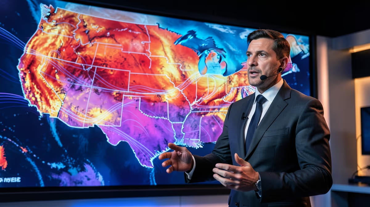
As the atmosphere undergoes a profound seasonal shift, millions of Americans are looking at newly released meteorological projections with growing anticipation. A rapidly evolving oceanic phenomenon is poised to redraw the traditional boundaries of winter, bringing extreme weather variations to some regions while leaving others uncharacteristically mild. Stay updated with the latest El Nino winter forecast US trends, covering how shifting climate patterns will impact regional weather across the country.
As the winter season approaches, new weather maps and forecasts are giving residents across the United States a glimpse of what to expect from the upcoming months. Driven by growing El Niño conditions, meteorologists and federal agencies like NOAA have released updated predictions detailing how temperatures and precipitation could shift in different regions. While some states are bracing for historic snow accumulation and dramatic weather changes, others might experience unusually mild conditions. These winter outlook maps help communities prepare for potential disruptions, ranging from heavy snowfall events to warmer-than-average spells.
The strengthening El Niño climate pattern is actively shifting the North American jet stream, creating a starkly divided winter map where some US states face historic snow while others prepare for unseasonably warm temperatures.
The Atmospheric Engine of El Nino
The root cause of these developing seasonal anomalies lies in shifting oceanic and atmospheric conditions associated with the strengthening El Niño cycle. This naturally occurring climate pattern is marked by warmer-than-average sea surface temperatures in the central and eastern Pacific Ocean. These ocean temperature anomalies directly alter global atmospheric circulation, disrupting traditional pathways of moisture and air across North America.
By warming the waters of the equatorial Pacific, El Niño effectively re-routes the atmospheric jet stream, steering it further south across the United States during the winter months. This shift in the jet stream acts as a conveyor belt for weather systems, bringing variable regional precipitation and temperature anomalies to different parts of the country. For some areas, this path channels an influx of heavy moisture; for others, it blocks cold Arctic air masses, leading to unseasonably dry and mild conditions.
NOAA Winter Weather Predictions and Regional Maps
Federal meteorological organizations, including the NOAA National Centers for Environmental Information, monitored global temperature and precipitation trends throughout August 2026. In late August 2026, NOAA released its fall and winter weather predictions for all 50 states as the El Niño phenomenon grew stronger. These models help outline which cities and regions face the biggest winter weather changes.
A closer look at the latest winter temperature and precipitation map reveals a starkly divided nation. Newsweek's analysis of cities facing major weather changes and Autoblog's state-by-state winter breakdown illustrate the high demand for regional clarity. Furthermore, thehill.com highlighted NOAA's early release of fall weather predictions for all 50 states, demonstrating the growing scale of this climate pattern.
In states like Ohio, the latest NOAA forecast suggests warmer temperatures. Local reporting from the Akron Beacon Journal emphasizes that while a warmer trend is projected, it does not rule out sporadic winter storms and sudden cold snaps. Climatologists continue to analyze atmospheric data to refine these outlooks as autumn transitions into winter, allowing local planners and agriculture sectors to adapt their expectations.
US States Facing Historic Snow Projections
While some states prepare for a milder season, others are bracing for severe, potentially historic winter weather. New maps highlighted by outlets such as Men's Journal and Newsweek point to specific regions facing major shifts in snowfall. Under a strong El Niño setup, the southerly track of the jet stream frequently collides with cold northern air masses, creating ideal conditions for major storm systems to form.
Consequently, several US states are projected to experience heavy snow accumulation, with some facing potential historic snow US states totals. These localized setups can trigger heavy winter storms even in a winter that is overall warmer on average. Residents in these targeted regions are advised to monitor updated NOAA winter weather predictions closely. The variance between a general regional forecast and a hyper-local blizzard setup is often a matter of a few miles, meaning that state-level preparedness remains critical as the season approaches.
Economic and Infrastructure Implications
These unpredictable winter weather shifts carry significant financial and operational implications across multiple sectors of the economy. Energy markets must adjust to highly variable heating demands, balancing lower consumption in unseasonably warm states with spikes in regions hit by severe cold. Municipalities are also forced to re-evaluate their snow-removal budgets, as areas unprepared for heavy snowfall may quickly exhaust their seasonal resources.
Unpredictable winter weather shifts carry significant financial implications for energy markets, agricultural planning, municipal snow-removal budgets, and tourism industries.
Beyond public services, the agricultural planning and tourism industries face high stakes. Ski resorts and winter tourism hubs depend heavily on predictable seasonal snowfall, while farmers rely on soil moisture replenishment from winter precipitation. State and federal authorities face mounting pressure to align disaster preparedness funding and infrastructure resilience strategies with these increasingly volatile, long-range climate projections. Furthermore, discrepancies between generalized national forecasts and hyper-local meteorological realities may expose vulnerabilities in regional supply chain logistics and municipal resource allocation before peak winter hits.
Historical Parallels and Key Milestones
Meteorologists point to historical precedents to understand the potential impact of the current cycle. The strong El Niño events of 1997-1998 and 2015-2016 serve as key historical parallels. During those years, similar disruptions to traditional U.S. weather patterns caused dramatic regional shifts in snowfall and rainfall, catching several unprepared municipalities off guard.
The timeline below outlines how the current meteorological data and forecasts have developed over the course of late 2026, setting the stage for the upcoming winter:
| Period | Key Development |
|---|---|
| August 2026 | NOAA monitors global temperature and precipitation; releases preliminary fall/winter predictions as El Niño grows stronger. |
| September 2026 | Regional media outlets, specialized trackers, and publications release detailed state-by-state winter weather maps. |
| Winter 2026-2027 | Actual precipitation and temperature patterns put the predictive forecast models to the test across U.S. regions. |
Predictive Outlook and Preparedness
In the coming days, the flow of information will remain critical for local planning. Over the next 24 hours, meteorologists will continue their analysis of newly released NOAA seasonal forecasts and El Niño maps detailing expected temperature and precipitation shifts. Over the next 72 hours, regional media outlets and weather services will continue breaking down these state-by-state winter weather projections and historic snow trends.
Key players in this seasonal tracking effort include:
- NOAA National Centers for Environmental Information
- Regional meteorologists
- US state emergency management agencies
Analysts emphasize that accurate long-range forecasting provides a best-case scenario, allowing states and communities to adequately prepare for winter weather variations without widespread disruption. Conversely, the worst-case scenario involves unexpected severe winter storms or historic snow events catching unprepared regions off guard, straining local infrastructure, utilities, and emergency services. Heightened public interest in winter preparedness is expected to rise as updated maps continue to highlight these potential changes.
Frequently Asked Questions
What does the El Nino winter weather forecast map show for US states?
The El Nino winter weather forecast maps released by organizations like NOAA illustrate predicted temperature and precipitation variations across all 50 states. These maps help residents visualize which regions are expected to experience significant shifts in seasonal weather patterns. Reviewing these state-by-state projections allows communities to prepare for incoming climate anomalies.
Which US states are facing historic snow this winter according to the latest maps?
Recent maps highlighted by outlets like Men's Journal point to specific regions potentially bracing for historic snowfall totals as El Nino conditions strengthen. While overall trends often lean warmer in certain areas, localized atmospheric setups can still trigger heavy winter storms. Affected residents are advised to monitor updated NOAA forecasts as the season approaches.
Why does El Nino have such a major impact on US winter weather?
El Nino is a climate pattern characterized by warmer-than-average sea surface temperatures in the central and eastern Pacific Ocean, which significantly alters global atmospheric circulation. These shifts steer the jet stream further south across North America, directly influencing temperature and precipitation trends throughout the United States. Understanding this background helps meteorologists anticipate regional climate behaviors months in advance.
Who is most affected by the predicted winter weather changes?
Communities across the northern tier, the Ohio Valley, and parts of the southern United States will experience some of the most notable weather changes this winter. Depending on the exact positioning of the jet stream, states in these corridors may see drastically wetter, drier, milder, or snowier conditions than usual. Local planners and agriculture sectors rely heavily on these regional forecasts to mitigate potential weather-related disruptions.
What happens next as El Nino continues to grow stronger?
As El Nino conditions continue to intensify, meteorological agencies like NOAA will issue increasingly refined seasonal forecasts and updated state maps. Residents can expect more granular data regarding temperature deviations and snowfall probabilities as the winter months draw closer. Keeping track of these evolving predictions ensures timely preparation for any severe weather events.
What specific winter forecast did NOAA release for states like Ohio?
Recent NOAA forecasts indicate that states like Ohio could lean toward warmer-than-average conditions this winter, aligning with typical El Nino patterns for the region. However, a warmer overall trend does not entirely rule out the possibility of sporadic winter storms and cold snaps. Local reporting from outlets such as the Akron Beacon Journal emphasizes that regional forecasts remain subject to fine-tuning as atmospheric conditions develop.
Conclusion
In summary, the strengthening El Niño cycle is driving significant adjustments to winter weather projections across the United States. While agencies like NOAA and regional media outlets continue to monitor atmospheric fluctuations, clear geographical divides have emerged between regions facing potential historic snow and those anticipating milder conditions. Moving forward, the primary focus for state emergency agencies, municipalities, and utility providers will center on leveraging these detailed maps to finalize local infrastructure prep before the peak winter months arrive.
Sources
- Map Shows US States Facing Historic Snow This Winter — Men's Journal
- El Niño Map Shows Cities Facing Biggest Winter Weather Change — Newsweek
- Monitoring Global Temperature and Precipitation in August 2026 — NOAA National Centers for Environmental Information (NCEI) (.gov)
- New Map Shows What Winter Weather Could Bring to Each US State — Autoblog
- Warmer this winter? Latest NOAA forecast shows winter weather for Ohio — Akron Beacon Journal
- NOAA releases fall weather predictions for all 50 states as El Niño grows stronger — thehill.com


.webp)

.webp)