
2026 Super El Nino Forecast Signals Dramatic Shifts Across US Regions
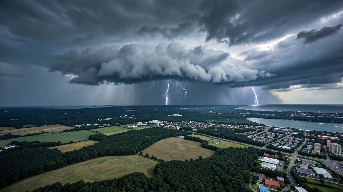
As meteorologists release the latest 2026 super el nino forecast, communities across the United States are bracing for unprecedented shifts in weather patterns. Beneath the surface of the equatorial Pacific Ocean, complex thermal dynamics are quietly shifting, setting the stage for a climate event that could reverberate across global commodity markets, domestic infrastructure, and regional water management systems. While the atmosphere and ocean take months to fully couple, long-range models are already flashing signals that demand a proactive posture from policymakers and agricultural leaders alike.
The Mechanics of Pacific Warming
El Niño events are fundamentally characterized by warmer-than-average sea surface temperatures developing across the central and eastern tropical Pacific Ocean. This oceanic warming acts as a giant thermal engine, effectively altering the Earth's jet stream and steering major storms across entirely different pathways than normal. Root cause analysis points to unprecedented oceanic heat accumulation in the western Pacific, coupled with accelerated Atlantic Meridional Overturning Circulation variability, as the primary drivers creating the thermal preconditions for a hyper-charged El Niño cycle by late 2025 into 2026.
Computer climate models are currently simulating conditions favorable for a strong El Niño transition. Forecasters note that if the current trajectory holds, the upcoming weather phenomenon could rival the intensity of the historic 1997-1998 and 2015-2016 El Niño episodes. When a super-tier event materializes, it pushes global temperatures to record highs while radically amplifying regional precipitation anomalies. Sea surface temperatures in the equatorial Pacific are currently showing anomalous warming trends, prompting institutional modelers to run long-range predictive simulations for the upcoming timeframe.
Weather Impacts Across the United States
The practical consequences of these shifting oceanic baselines translate directly to varied regional hazards across the American landscape. Historical Super El Niños severely impacted US weather, causing heavy southern rainfall and northern warmth, and the 2026 forecast indicates a similar divergence.
A strong El Niño typically brings wetter and cooler conditions to the southern United States, while the Pacific Northwest and parts of the Midwest often experience warmer and drier winters. If a super El Nino materializes in 2026, these regional climate impacts could be significantly amplified. This polarization creates complex management challenges, potentially leading to heavy rainfall and flood risks in drought-prone areas like California and along the Gulf Coast, while concurrently inducing severe agricultural stress and wildfire risks in the Pacific Northwest and northern agricultural plains.
Agricultural And Economic Vulnerabilities
Beyond immediate weather disruptions, the anticipated climate shift carries profound economic and political consequences. Severe domestic agricultural disruptions in the US Midwest threaten to impact key crop yields, potentially weaponizing food security narratives ahead of the 2026 midterm elections. This dynamic risks pressuring the incumbent administration and intensifying partisan battles over federal disaster relief funding and climate adaptation spending.
On the financial front, analysts warn of potential trillion-dollar shocks to US crop yields, property insurance market collapses in disaster-prone coastal and flood zones, and massive inflationary spikes in global commodity markets, particularly affecting corn, soy, and energy distribution. Furthermore, the strain on US strategic petroleum reserves and critical mineral supply chains caused by concurrent extreme weather events at major domestic extraction and refining hubs exposes deep vulnerabilities in national security infrastructure. Geopolitically, the United States may face heightened diplomatic friction as extreme weather migration pressures escalate across Latin America, while domestic supply chain interruptions weaken Washington's economic leverage in strategic trade negotiations.
Near-Term Forecasting And Outlook
Meteorological agencies are maintaining a rigorous observation schedule to track the transition of the El Niño-Southern Oscillation state. In the immediate 24-hour window, meteorological agencies are releasing updated sea surface temperature anomaly models for the Pacific Basin, focusing on early indicators of a transitioning ENSO state. Over the next 72 hours, climate scientists and agricultural commodities analysts will review preliminary long-range atmospheric coupling data to assess potential 2026 intensities.
Key institutional players, including the NOAA Climate Prediction Center, the National Weather Service, the USDA, and ENSO forecast modelers, are actively monitoring these developments. Impact areas under close watch include agricultural futures markets, West Coast water resource management, southern tier storm tracking, and energy grid planning. Experts emphasize that while it is too early for definitive certainty, current oceanic heat content anomalies suggest a heightened probability of transitioning toward a significant El Niño phase by late 2025 into 2026. The best-case scenario envisions a moderate El Niño developing to bring much-needed winter precipitation to the American Southwest and drought-relief to agricultural plains without triggering severe flooding or infrastructure damage. Conversely, the worst-case scenario involves a rapid escalation into a historic Super El Niño that triggers severe atmospheric destabilization, catastrophic flooding along the West Coast, severe agricultural disruptions in the Midwest, and massive coastal erosion.
Frequently Asked Questions
Will there be a super El Nino in 2026?
Meteorologists are continuously monitoring Pacific Ocean temperature anomalies to determine the likelihood of a super El Nino in 2026. Current climate models suggest that while a transition is possible, it is still too early to confirm an extreme event with certainty. Official forecasts from agencies like NOAA will provide clearer updates as ocean and atmospheric patterns develop.
How will a 2026 super El Nino affect US weather?
A strong El Nino typically brings wetter and cooler conditions to the southern United States, while the Pacific Northwest and parts of the Midwest often experience warmer and drier winters. If a super El Nino materializes in 2026, these regional climate impacts could be significantly amplified. This may lead to heavy rainfall in drought-prone areas like California and increased flood risks across the Gulf Coast.
What causes a super El Nino event?
A super El Nino is driven by a massive, sustained warming of sea surface temperatures across the central and eastern tropical Pacific Ocean. This oceanic warming weakens trade winds and significantly alters global atmospheric circulation patterns. When these coupled ocean-atmosphere interactions reach extreme thresholds, they create a historically powerful El Nino phase.
How does El Nino impact the US hurricane season?
During an El Nino year, increased wind shear across the Atlantic basin typically suppresses tropical storm and hurricane formation. However, the exact impact on the US coastline depends on other concurrent climate drivers, such as Atlantic sea surface temperatures. Even in an El Nino year, coastal residents should remain prepared, as it only takes one major landfall to cause significant damage.
When was the last super El Nino?
The most recent strong to super El Nino event occurred during the 2023-2024 winter season, following previous major events in 2015-2016 and 1997-1998. These powerful climate phenomena happen infrequently, usually spaced several years apart. Each event provides scientists with more data to improve long-term forecasting models for future occurrences like 2026.
Where can I find official 2026 El Nino updates?
The Climate Prediction Center, a division of NOAA, provides the most reliable and up-to-date monthly forecasts regarding El Nino and La Nina developments. Their website offers detailed ENSO diagnostic discussions and probability charts. Monitoring these official government sources is the best way to stay informed on the evolving 2026 outlook.
Conclusion
Monitoring ongoing updates from meteorological institutions remains critical as research centers continue tracking equatorial Pacific temperature anomalies and long-range atmospheric models. Federal agencies, agricultural analysts, and emergency management networks are maintaining a proactive posture to evaluate the evolving 2026 outlook as oceanic data matures over the coming months.


