
Africa Map Update At United Nations Sparks Major Diplomatic Clash
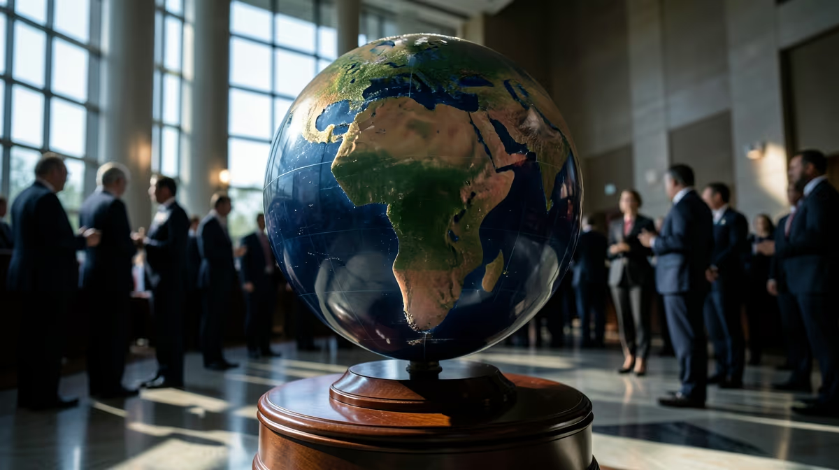
The United Nations has officially announced the UN adopts new Africa map initiative, a monumental shift in global cartography designed to correct centuries of geographic distortion. This historic decision addresses long-standing geographic inaccuracies found in traditional cartography, such as the widely used Mercator projection, which historically shrank landmasses near the equator while enlarging North America and Europe. Under the updated representation, Africa appears substantially larger in comparison to northern regions, aligning visual scale more accurately with actual land area.
Why the UN Adopts New Africa Map to Fix Mercator Distortion
The United Nations voted to adopt a new world map that presents a more accurate representation of the sizes of different continents. For generations, standard maps have made regions like North America and Europe appear much larger than they actually are, while shrinking continents near the equator, particularly Africa.
This long-standing distortion happens because of the way a 3D globe is flattened onto a 2D piece of paper. The persistence of the 16th-century Mercator projection as the global standard inherently distorts landmass sizes by enlarging regions further from the equator—disproportionately aggrandizing North America and Europe while vastly shrinking Africa. The new UN-approved map corrects these proportions, revealing Africa's true massive scale compared to the rest of the world. However, the change has sparked debate and opposition from countries like the United States.
Maps shape how humans perceive global geography, power, and the importance of different regions. By correcting centuries-old visual distortions, this new map challenges Eurocentric geographic biases and gives developing nations a more accurate and prominent representation on the global stage. Global populations, educators, geographers, policymakers, and international relations stakeholders are all affected, with a notable shift in how the African continent is visually represented worldwide.
The Historical Impact of Changing Global Map Projections
The decision follows an African proposal approved at the United Nations, signaling a shift toward more geographically equitable global representations. For centuries, mapmakers have struggled to flatten a round globe onto a flat surface. The most famous example, the Mercator projection created in 1569, distorted landmass sizes as they moved further from the equator to help sailors navigate, inadvertently inflating the perceived size of North America and Europe while shrinking Africa and South America.
The UN adoption represents a significant diplomatic victory for African member states challenging historical cartographic Eurocentrism, though it exposed sharp divisions. While cartographic shifts do not directly alter physical geography, correcting the visual bias alters the psychological perception of economic markets, resource wealth, and the demographic scale of the African continent in global trade and investment discussions. Shifting the visual representation of global power alters soft power dynamics within international bodies, reinforcing calls from the Global South for a more equitable redistribution of influence in multilateral institutions.
- The United Nations voted to adopt a new world map showing Africa's true size
- The approved map shows Africa as bigger, while North America and Europe appear smaller
- The United States opposes the UN adoption of the map
- The decision follows an African proposal approved at the UN
Diplomatic Reactions and International Divisions
While the change has been welcomed by many seeking accurate portrayals of the continent's scale, it has also faced resistance from some member states. Notably, the United States has opposed the UN's adoption of the new map. The move opens broader conversations across international bodies regarding how geographical data and visual standards are set and utilized globally.
The United Nations has voted to adopt a new world map that reflects Africa's true size, sparking significant international discussion as traditional geographic representations are overhauled.
Immediate reactions from member states following the UN vote to adopt the new world map will focus on US opposition and global media coverage analyzing the shift in representation. Analysts would likely expect increased diplomatic friction over cartographic standards and a push from developing nations for greater representational accuracy in global institutions. Broader diplomatic discussions regarding the implementation of the new map in international organizations, educational materials, and official UN cartography are anticipated, alongside ongoing debates over geographical distortion.
Future Outlook and Global Implementation
Looking ahead, the implementation phase will determine how different member states respond to the new map in official capacities and educational resources.
The United Nations has officially approved an African proposal for a new world map, drawing opposition from the United States as global institutions prepare for potential cartographic shifts.
In the best-case scenario, the adoption fosters a more accurate global perspective and constructive international dialogue on geographic equity and representation. Conversely, the worst-case scenario involves the decision deepening geopolitical divisions at the UN, leading to prolonged disputes over official mapping standards and international recognition. Beyond mere geography, the standardized map update could quietly trigger systemic software and educational overhauls globally, forcing defense planners, logistics firms, and textbook publishers to reconcile spatial realities that could subtly shift strategic logistics.
Frequently Asked Questions
Why did the UN adopt a new world map?
The United Nations approved an African proposal to adopt a new world map that accurately reflects Africa's true size compared to traditional representations. For generations, standard maps have drastically distorted landmasses, making regions like North America and Europe appear much larger than they actually are.
How does the new map change the appearance of Africa and other continents?
Under the newly adopted map, Africa appears significantly larger, showcasing its true scale relative to the rest of the globe. Conversely, landmasses traditionally favored by older projections, such as North America and Europe, appear much smaller.
Which countries opposed the UN map showing Africa's true size?
The United States opposed the UN adoption of the map depicting Africa's true size. Despite this opposition, the proposal successfully passed with broader international support.
Why didn't older maps show Africa's true size?
Traditional maps, most notably the Mercator projection created in the 16th century, stretched landmasses further away from the equator to aid navigation. This distortion resulted in equatorial regions like Africa appearing deceptively small compared to places like Greenland or Europe.
How much bigger is Africa than Greenland on the map?
Africa is roughly 14 times bigger than Greenland in reality. Traditional map projections often depicted Greenland and Africa as roughly the same size, masking massive geographical disparities.
What happens next following the UN's adoption of the new map?
Following the UN vote, global educational institutions, cartographers, and international organizations are expected to gradually incorporate the corrected perspective into official materials and atlases. This shift aims to promote more accurate geographic awareness worldwide.
Conclusion
The United Nations has officially voted to adopt a new world map reflecting Africa's true scale following an African proposal, addressing centuries of cartographic distortion caused by traditional projections like the Mercator map. While the decision has garnered broad support for achieving geographic accuracy and representational equity, it has also met with opposition from the United States, highlighting deep divisions among member states. As international organizations, educational institutions, and cartographers prepare for the implementation of the updated mapping standards, ongoing diplomatic discussions will continue to shape how global geography is visually defined and utilized across international bodies.
Sources
- UN votes to adopt new world map showing Africa's true size — BBC
- UN adopts new map: Africa bigger, North America and Europe smaller — South China Morning Post
- US opposes UN adoption of map showing Africa’s true size — thenationalnews.com
- U.N. Approves African Proposal for a New World Map — The New York Times
- UN votes to adopt new map that makes our world look very different — CNN
- Africa is 14 times bigger than Greenland. So why don’t maps show it? — Firstpost


