
New Africa Size World Map Endorsed by UN in Historic Shift
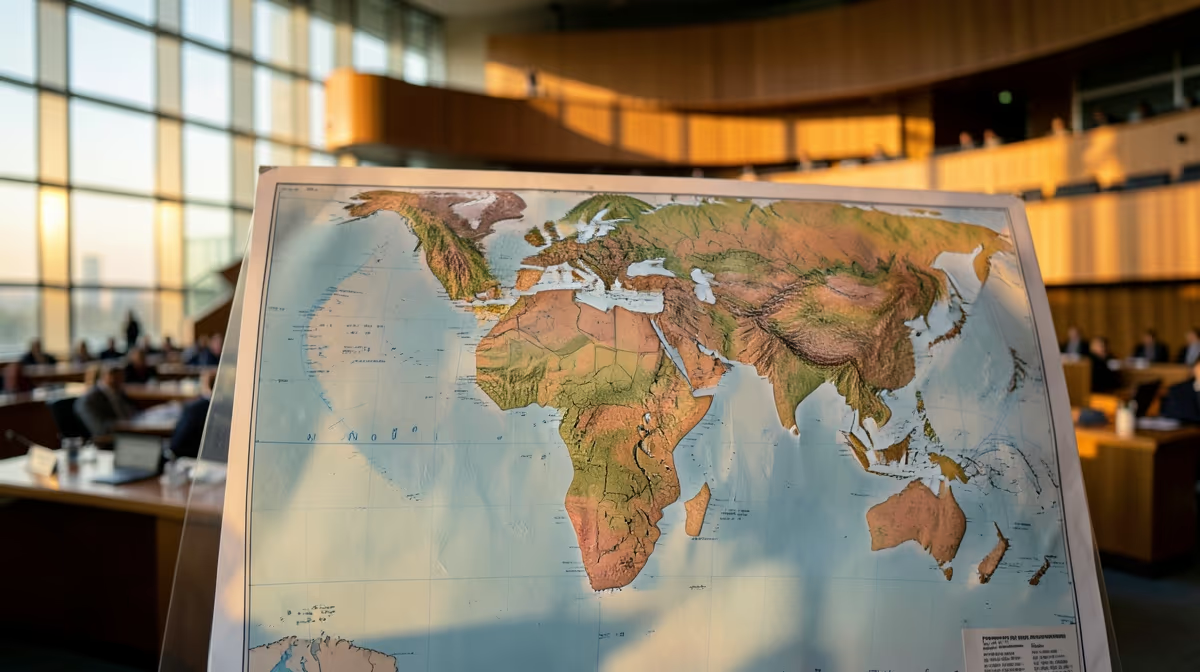
The UN General Assembly has voted to endorse a new world map designed to accurately reflect Africa's true relative size, shifting away from traditional cartographic representations that have minimized the continent for centuries. In a landmark decision for global geography, the UN endorses new Africa size world map resolutions, sparking a major shift in international cartography.
For generations, standard global maps like the Mercator projection have distorted geographical realities, significantly shrinking landmasses near the equator while artificially enlarging those closer to the poles. This discrepancy has long drawn criticism from geographers and international observers who argue that traditional maps project a skewed geopolitical perspective.
The newly endorsed map rectifies these disparities, presenting Africa in its correct proportions relative to the rest of the world. The proposal, which gained strong backing at the United Nations, marks a significant milestone in correcting historical cartographic biases.
Major international news organizations including NPR, ABC News, the BBC, Al Jazeera, CNN, and The New York Times have reported on the adoption of the map. The shift is expected to influence educational materials, geographical standards, and global visual representations moving forward.
Background and Cartographic Bias
Flat world maps have historically struggled to represent a three-dimensional globe without distortion. The 16th-century Mercator projection, widely used in classrooms and navigation, famously enlarges landmasses further away from the equator—such as Greenland and North America—while shrinking equatorial regions like Africa and South America.
For centuries, standard global cartography like the Mercator projection has systematically distorted geographic realities by severely underrepresenting the true landmass size of the African continent relative to North America and Europe, sparking persistent diplomatic efforts for cartographic accuracy.
- Traditional maps, such as the Mercator projection, distort landmasses by shrinking areas near the equator
- The UN General Assembly endorsed a new world map that accurately reflects Africa's true relative size
- The decision follows an official proposal and vote by UN member states
What Unfolded at the United Nations
The United Nations General Assembly has officially endorsed a new world map designed to display Africa in its true relative size. For generations, standard global maps have relied on projections that significantly shrink regions near the equator while expanding areas closer to the poles.
This vote marks a major milestone in correcting geographical representation on a global scale. By adopting a map that portrays landmasses more accurately, the UN is addressing long-standing cartographic biases that have visually diminished the scale of African nations compared to North America and Europe.
Major global news outlets including NPR, BBC, CNN, and The New York Times covered the adoption, highlighting the significance of an African proposal successfully brought before the international body.
The U.N. backs a new world map showing Africa in its true relative size.
Why This Matters for Global Perception
Visual representations shape how people perceive the importance, scale, and influence of different regions of the world. By correcting the distortion of Africa's size on official maps, this decision promotes greater geographical accuracy and fairness in global perspectives, education, and international media.
People across Africa, educators, cartographers, and global citizens relying on geographical data will see a shift in how world maps are presented and understood.
The UN General Assembly endorsement marks a vital correction to historical cartographic biases that have visually diminished equatorial landmasses for centuries.
Geopolitical and Analytical Dimensions
The endorsement by the UN General Assembly represents a major diplomatic victory for African member states advocating for epistemic justice, shifting global symbolic power structures away from Eurocentric cartographic dominance.
While cartographic changes do not immediately alter physical resources, visual representation profoundly influences trade perceptions, investment mentalities, and the geopolitical weight attributed to the Global South in international financial institutions.
This decision alters international baseline perceptions of scale and power, potentially reinforcing multilateral momentum for structural reforms such as the inclusion of permanent African representation on the UN Security Council.
The widespread adoption of a corrected map could trigger massive logistical shifts in global education publishing, navigation software adjustments, and cartographic standards, quietly reshaping spatial psychology worldwide.
What Comes Next
Media coverage and diplomatic discussions continue to analyze the UN General Assembly's endorsement of the new world map reflecting Africa's true size.
Educational institutions and international bodies begin discussions on the implementation and broader awareness implications of the updated geographic representation. Analysts would likely expect a gradual shift in educational materials and public perception regarding geographical scaling and global representation.
- Best case: The adoption of the new map fosters greater global equity in cartographic representation and sparks widespread educational dialogue.
- Worst case: Logistical challenges and resistance from traditional publishing standards slow down the widespread adoption of the new map in global educational curricula.
Frequently Asked Questions
What did the UN General Assembly endorse regarding a new world map?
The UN General Assembly voted to adopt and endorse a new world map designed to more accurately reflect Africa's true relative size. This move addresses long-standing cartographic distortions found in traditional map projections.
Why is the new world map important for Africa?
For generations, standard global maps like the Mercator projection have drastically shrunk continents near the equator—especially Africa—while enlarging North America and Europe. Correcting these proportions helps counter historical geographical biases and offers a fairer visual representation of the continent's scale.
Who led the proposal for the new world map at the UN?
The initiative was advanced through an African proposal successfully brought before the United Nations. Member states ultimately voted to approve the change, marking a significant milestone for geographic representation.
What map projection was commonly used before this UN endorsement?
Traditionally, the Mercator projection has been widely used in classrooms and institutions worldwide since the 16th century. While useful for navigation, it severely distorts landmasses as they get further from the equator.
What happens next now that the UN has adopted the new map?
Following the endorsement, international agencies, educational institutions, and mapmakers will likely begin integrating the updated perspective into global standards. This transition aims to foster more accurate geographic awareness in schools and public platforms globally.
How much larger does Africa actually appear on the new map?
While exact relative scaling depends on the specific equal-area projection utilized, Africa is roughly 14 times larger than Greenland, a comparison that was heavily distorted on older maps where both appeared similar in size.
Conclusion
The UN General Assembly has officially endorsed a new world map reflecting Africa's true relative size, marking a historic turning point in international cartography. By moving away from historical projections that distorted equatorial landmasses, the global community has taken a concrete step toward geographical accuracy and equity. As educational institutions, international organizations, and mapmakers begin engaging with the updated standards, the implementation process will shape how future generations perceive global geography.
Sources
- The U.N. backs a new world map showing Africa in its true relative size — NPR
- UN General Assembly endorses a new world map that shows more accurately Africa's size — ABC News - Breaking News, Latest News and Videos
- UN votes to adopt new world map to reflect Africa's true size — BBC
- UN votes to adopt new world map that reflects Africa’s true size — aljazeera.com
- UN votes to adopt new map that makes our world look very different — CNN
- U.N. Approves African Proposal for a New World Map — The New York Times


